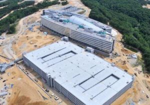
US Army Geospatial Center
8-koi provides logistics and tactical source-enterprise solutions analyses for the US Army Geospatial Center’s BuckEye program at Fort Belvoir, Virginia. Our logistical experts analyze and coordinate production, distribution, utilization, internal allocation, disposition, and management of multi-site, national, and international logistical resources. Our analyst receives all CONUS and OCONUS collected data from aerial and ground collection platforms to document, assess, process, archive, disseminate, replicate, correct and maintain various data products. We also perform processing, uploading, cataloging, and QC/QA of LiDAR imagery and formats such as mosaics and orthorectified images.
